NWS Memphis(@NWSMemphis) 's Twitter Profileg
NWS Memphis

@NWSMemphis

Official Twitter account for the National Weather Service Memphis, Tennessee, Office. Details: https://t.co/PQxfLC07rb

ID:590168938

linkhttp://www.weather.gov/meg calendar_today25-05-2012 17:25:50

62,0K Tweets

47,4K Followers

484 Following

NWS Memphis(@NWSMemphis) 's Twitter Profile Photo

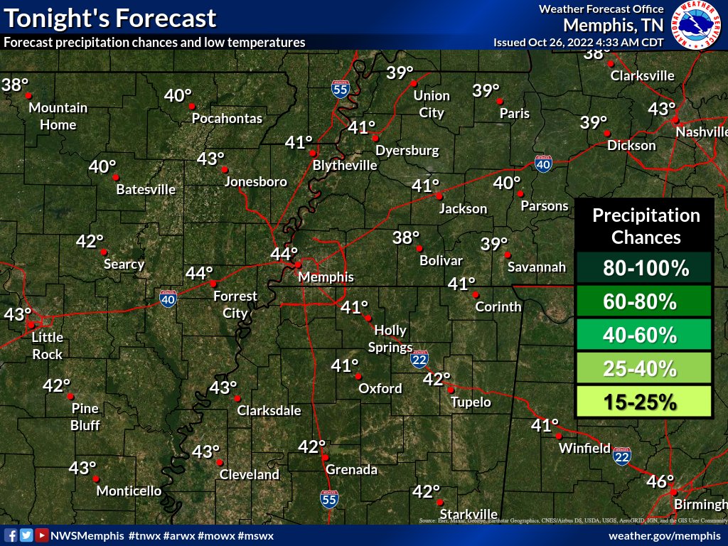
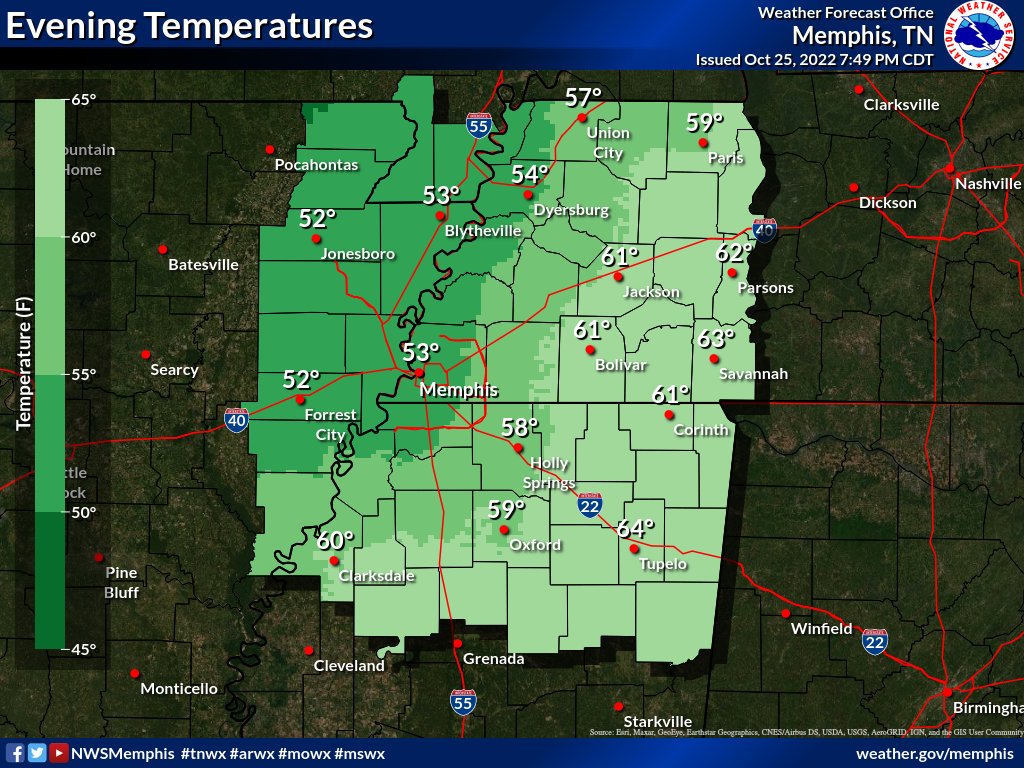
Check out these evening temperatures across the Mid-South! The cold front that passed earlier today is expected to bring cool and dry conditions to the region for the next several days, with low temperatures in the 40s across the region. We approve of this weather pattern. 😎

Check out these evening temperatures across the Mid-South! The cold front that passed earlier today is expected to bring cool and dry conditions to the region for the next several days, with low temperatures in the 40s across the region. We approve of this weather pattern. 😎
account_circle
NWS Memphis(@NWSMemphis) 's Twitter Profile Photo

GOES visible/infrared combo satellite imagery showed thunderstorms have moved into AL and middle TN.
Gusty winds will remain possible under the midlevel dry slot over the Midsouth.
Image loop courtesy College of DuPage.

account_circle
NWS Memphis(@NWSMemphis) 's Twitter Profile Photo

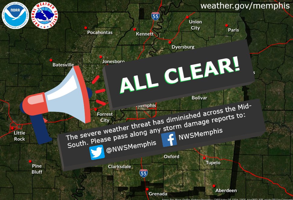
The threat for any severe weather has diminished across the Mid-South. Please send in any storm damage reports! 😁

The threat for any severe weather has diminished across the Mid-South. Please send in any storm damage reports! 😁#MidSouthwx
account_circle
NWS Memphis(@NWSMemphis) 's Twitter Profile Photo

Updated severe outlook for the afternoon. A line of strong thunderstorms will reach the Tennessee River and Alabama border by 2 PM. A few short-lived tornadoes will be possible, mainly over northeast Mississippi.

Updated severe outlook for the afternoon. A line of strong thunderstorms will reach the Tennessee River and Alabama border by 2 PM. A few short-lived tornadoes will be possible, mainly over northeast Mississippi.
account_circle
NWS Memphis(@NWSMemphis) 's Twitter Profile Photo

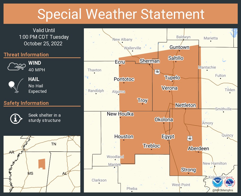
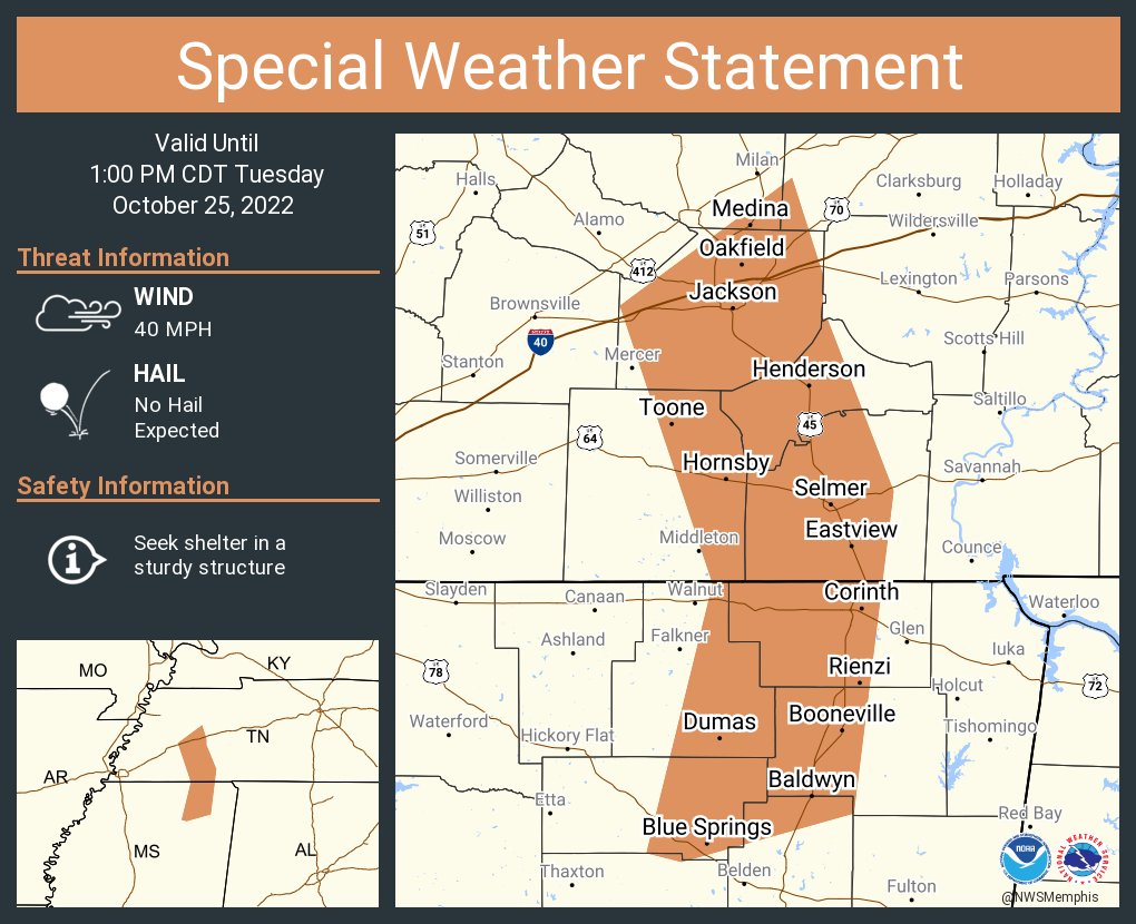
A special weather statement has been issued for Jackson TN, Corinth MS and Booneville MS until 1:00 PM CDT

A special weather statement has been issued for Jackson TN, Corinth MS and Booneville MS until 1:00 PM CDT
account_circle
NWS Memphis(@NWSMemphis) 's Twitter Profile Photo

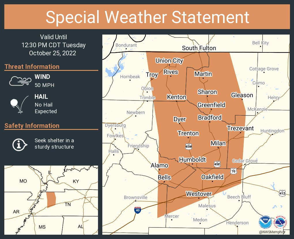
A special weather statement has been issued for Martin TN, Union City TN and Humboldt TN until 12:30 PM CDT

A special weather statement has been issued for Martin TN, Union City TN and Humboldt TN until 12:30 PM CDT
account_circle
NWS Memphis(@NWSMemphis) 's Twitter Profile Photo

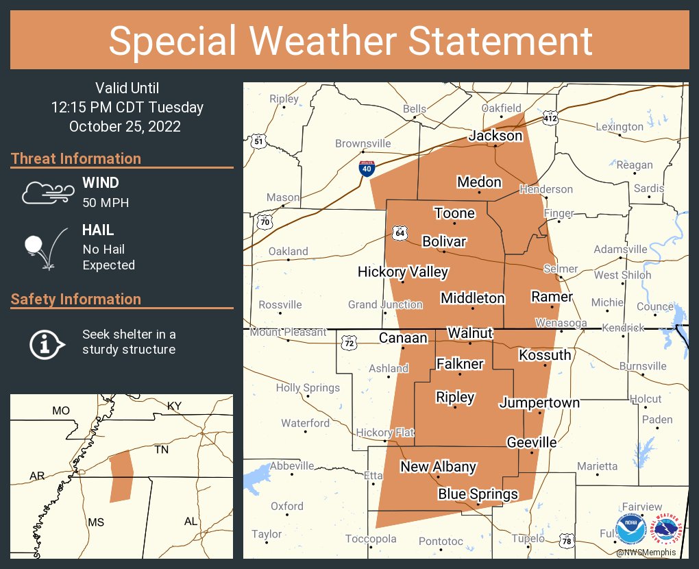
A special weather statement has been issued for Jackson TN, New Albany MS and Bolivar TN until 12:15 PM CDT

A special weather statement has been issued for Jackson TN, New Albany MS and Bolivar TN until 12:15 PM CDT
account_circle
NWS Memphis(@NWSMemphis) 's Twitter Profile Photo

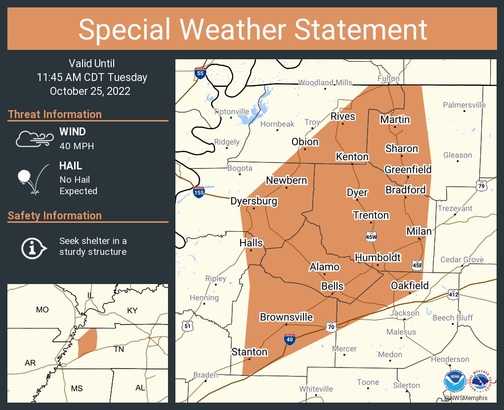
A special weather statement has been issued for Dyersburg TN, Martin TN and Brownsville TN until 11:45 AM CDT

A special weather statement has been issued for Dyersburg TN, Martin TN and Brownsville TN until 11:45 AM CDT
account_circle
NWS Memphis(@NWSMemphis) 's Twitter Profile Photo

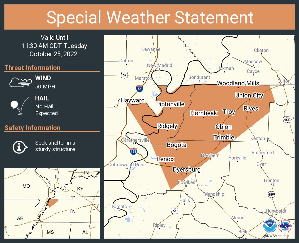
A special weather statement has been issued for Dyersburg TN, Union City TN and Tiptonville TN until 11:30 AM CDT

A special weather statement has been issued for Dyersburg TN, Union City TN and Tiptonville TN until 11:30 AM CDT
account_circle
NWS Memphis(@NWSMemphis) 's Twitter Profile Photo

A special weather statement has been issued for Holly Springs MS, Oakland TN and Bolivar TN until 11:30 AM CDT

A special weather statement has been issued for Holly Springs MS, Oakland TN and Bolivar TN until 11:30 AM CDT
account_circle