ANZMapS (@anzmaps) 's Twitter Profile
ANZMapS

@anzmaps

Australian and New Zealand Map Society is a society for map producers, users, collectors and curators interested in maps.

ID: 1288196558

linkhttp://www.anzmaps.org calendar_today22-03-2013 09:06:47

2,2K Tweet

479 Followers

145 Following

Geoscience Australia (@geoscienceaus) 's Twitter Profile Photo

🗺️ We love maps! 🗺️ Hot off the press, this year’s Australia's Critical Minerals Map is the first edition we’ve developed that features the locations of the latest minerals to be added to Australia’s Critical Minerals List. 📍Download the map 👉 bit.ly/4ciKFnJ.

🗺️ We love maps! 🗺️

Hot off the press, this year’s Australia's Critical Minerals Map is the first edition we’ve developed that features the locations of the latest minerals to be added to Australia’s Critical Minerals List. 

📍Download the map 👉 bit.ly/4ciKFnJ.
ANZMapS (@anzmaps) 's Twitter Profile Photo

In Sydney on Tuesday April 23? - Learn about Spanish exploration and charting of the Americas and the Pacific, with examples from the State Library's collection, presented in person by Professor Emeritus Dennis Reinhartz. Bookings: sl.nsw.gov.au/events/know-wh…

In Sydney on Tuesday April 23? - Learn about Spanish exploration and charting of the Americas and the Pacific, with examples from the State Library's collection, presented in person by Professor Emeritus Dennis Reinhartz.
 
Bookings: sl.nsw.gov.au/events/know-wh…
ANZMapS (@anzmaps) 's Twitter Profile Photo

Time is running out to register for the 2024 symposium at the State Library of New South Wales - Mapping the Indian Ocean World, from antiquity to the present symposium is on 1 May - Registration, program and other details- anzmaps.org/2024/03/08/202…..

Time is running out to register for the 2024 symposium at the State Library of New South Wales - Mapping the Indian Ocean World, from antiquity to the present symposium is on 1 May - Registration, program and other details- anzmaps.org/2024/03/08/202…..
NYPL Map Division (@nyplmaps) 's Twitter Profile Photo

"The world as known to the ancients" by The Society for the Diffusion of Useful Knowledge, 1844 digitalcollections.nypl.org/items/c08d6be0…

"The world as known to the ancients" by The Society for the Diffusion of Useful Knowledge, 1844 digitalcollections.nypl.org/items/c08d6be0…
ANZMapS (@anzmaps) 's Twitter Profile Photo

Will you be in Sydney on the 2nd of May? Chet Van Duzer will be discussing the early history and development of cartouches and examines the sources and symbolism of these remarkable frames. For more information and bookings: sl.nsw.gov.au/frames-speak-i…

Will you be in Sydney on the 2nd of May? 
Chet Van Duzer will be discussing the early history and development of cartouches and examines the sources and symbolism of these remarkable frames. 
For more information and bookings:
sl.nsw.gov.au/frames-speak-i…
LOCMaps (@locmaps) 's Twitter Profile Photo

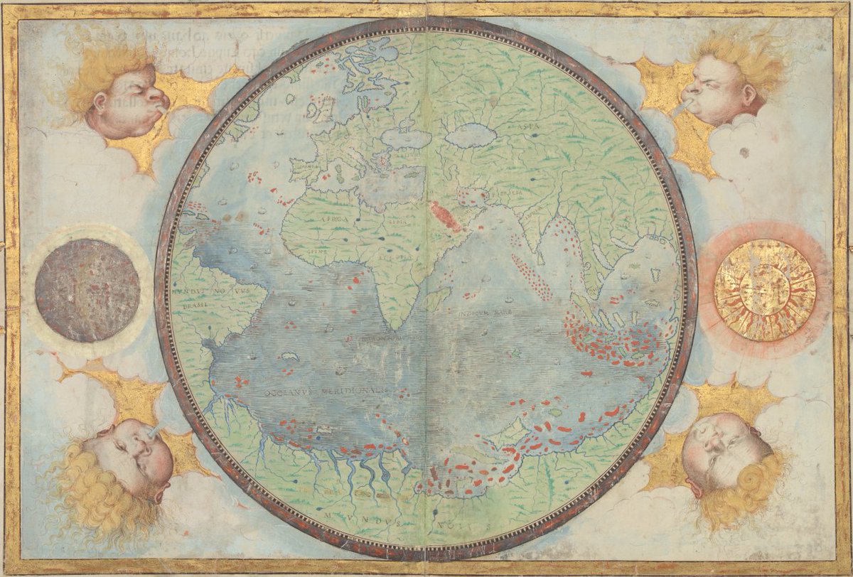
Happy Earth Day! Celebrate nature and environmental protection with a dive into our world maps! Shown here is a beautiful 1519 map from the World Digital Library. Take a closer look here: loc.gov/item/202166872…

Happy Earth Day! Celebrate nature and environmental protection with a dive into our world maps! Shown here is a beautiful 1519 map from the World Digital Library.

Take a closer look here: loc.gov/item/202166872…
State Library of NSW (@statelibrarynsw) 's Twitter Profile Photo

This week! Join historian Chet Van Duzer for an introduction to cartographic cartouches on Thursday 2 May at 6pm. Book now: ow.ly/PT1c50RrmFF

This week! Join historian Chet Van Duzer for an introduction to cartographic cartouches on Thursday 2 May at 6pm. 

Book now: ow.ly/PT1c50RrmFF
Australian National Maritime Museum (@seamuseum_) 's Twitter Profile Photo

This newspaper supplement titled 'Sydney from the Air' by The Sydney Morning Herald in 1937, a stunning collection of 24 aerial photographs that beautifully capture Sydney Harbour, its surrounding suburbs, and iconic beaches like Manly and Bondi. collections.sea.museum/objects/17840/…

The Courtauld Research Forum (@courtauldres) 's Twitter Profile Photo

📢Call for proposals 📢 Cultural History of Asian Art Series Editors: Sussan Babaie and Stephen Whiteman The Courtauld Full call 👉courtauld.ac.uk/wp-content/upl… Please share 🙌 #AsianArt #CFP #TheCourtauld
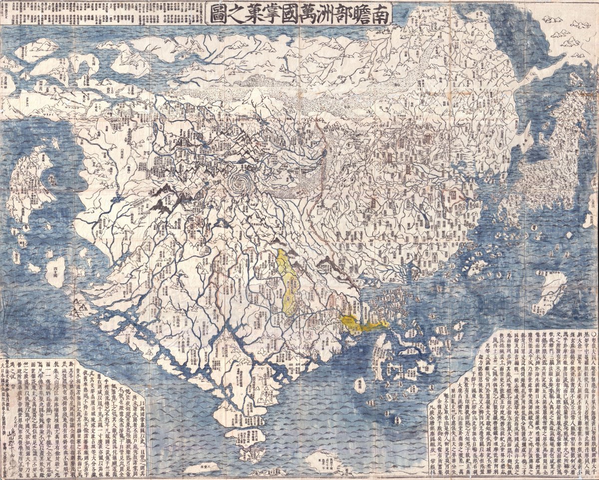

📢Call for proposals 📢 

Cultural History of Asian Art

Series Editors: Sussan Babaie and Stephen Whiteman <a href="/TheCourtauld/">The Courtauld</a> 

Full call 👉courtauld.ac.uk/wp-content/upl…

Please share 🙌 #AsianArt #CFP #TheCourtauld
LOCMaps (@locmaps) 's Twitter Profile Photo

Dive head-first into the geography of America's long-standing passion for cod fishing with our latest blog post "In Cod We Trust: Fishing Grounds and National Ambitions in Early Maps of North America" The full post is available online here: blogs.loc.gov/maps/2024/05/i…

Dive head-first into the geography of America's long-standing passion for cod fishing with our latest blog post "In Cod We Trust: Fishing Grounds and National Ambitions in Early Maps of North America"

The full post is available online here: blogs.loc.gov/maps/2024/05/i…
State Library of NSW (@statelibrarynsw) 's Twitter Profile Photo

#DidYouKnow that Hobart was named after Robert Hobart? Born #OTD in 1760, Robert Hobart was the fourth Earl of Buckinghamshire. This pictorial map of Hobart was published in 1927 and features streets, parks and buildings. #MappyMonday Explore in detail: ow.ly/4b1R50RwZ4E

#DidYouKnow that Hobart was named after Robert Hobart? Born #OTD in 1760, Robert Hobart was the fourth Earl of Buckinghamshire. 

This pictorial map of Hobart was published in 1927 and features streets, parks and buildings. #MappyMonday

Explore in detail: ow.ly/4b1R50RwZ4E
Bodleian Libraries (@bodleianlibs) 's Twitter Profile Photo

Follow the curved line, showing the path of the sun. When it's at its most northern point, today, it reaches the Tropic of Cancer, and marks our Summer Solstice. Read the rest of a short blog to mark a long day, from Stuart in our Map Dept: go.glam.ox.ac.uk/mapsblog

Follow the curved line, showing the path of the sun. When it's at its most northern point, today, it reaches the Tropic of Cancer, and marks our Summer Solstice. Read the rest of a short blog to mark a long day, from Stuart in our Map Dept: go.glam.ox.ac.uk/mapsblog
State Library of NSW (@statelibrarynsw) 's Twitter Profile Photo

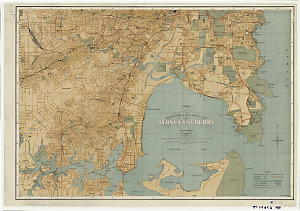
Celebrating #WorldHydrographyDay with this chart of Port Jackson in #Sydney from 1890. The map was essential for navigating the harbour, but it also shows important streets and buildings. 🔎 Can you spot the navigation lights highlighted in red?ow.ly/PEwm50Sm4s3

Celebrating #WorldHydrographyDay with this chart of Port Jackson in #Sydney from 1890. 

The map was essential for navigating the harbour, but it also shows important streets and buildings. 

🔎 Can you spot the navigation lights highlighted in red?ow.ly/PEwm50Sm4s3
NLS Map Collections (@natlibscotmaps) 's Twitter Profile Photo

We've #MoreMaps for you this #MapMonday 😊 Explore over 130,000 detailed Ordnance Survey National Grid maps of England and Wales at 1:2,500 or 1:1,250 scale, dating from the 1940s to the 1970s. (Scottish sheets were already online) maps.nls.uk/additions/#163 maps.nls.uk/geo/explore/#z…

Imago Mundi (@imagomundiijhc) 's Twitter Profile Photo

Imago Mundi and @ISHMAP join forces to have a conversation in London about the future of map history at the Royal Geographical Society (with IBG) in early September. Event open online to @ISHMAP members. Join at ISHmap.Wordpress.Com!

Dr Katherine Parker (@katieparker18th) 's Twitter Profile Photo

Are you a member of @ISHMAP? If so, join us online for a FREE symposium on 2 September on ‘Where Does Map History Go Now?’ Not a member? Join to stay in touch with all things mappy, get a discount on Imago Mundi and attend events like this one! ishmap.com/where-does-map…