Mike Seidel(@mikeseidel) 's Twitter Profileg
Mike Seidel

@mikeseidel

32+ years at TWC
🎥 25,361 live shots

B.S. Math Salisbury State
M.S. Meteorology Penn State

https://t.co/GDCOJUp8hK https://t.co/VzUH1f86uG

ID:24111487

linkhttp://www.youtube.com/MikeSeidelMeteorologist/playlists calendar_today13-03-2009 02:45:32

7,3K Tweets

2,4M Followers

181 Following

NWS Storm Prediction Center(@NWSSPC) 's Twitter Profile Photo

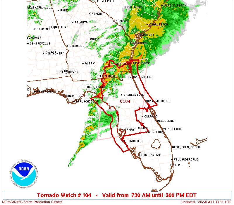
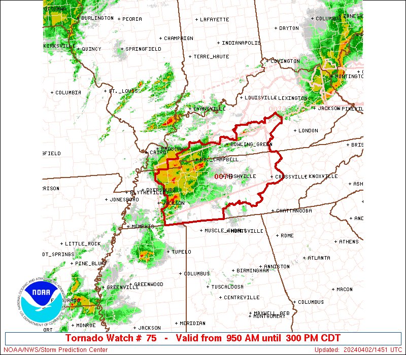
4/11: A Tornado Watch is in effect for portions of southeast OH, eastern KY, southwest PA, far western VA, and WV until 9pm EDT. A few tornadoes, damaging winds, and isolated severe hail are all possible. Monitor for possible warnings, and have a severe-weather safety plan.

4/11: A Tornado Watch is in effect for portions of southeast OH, eastern KY, southwest PA, far western VA, and WV until 9pm EDT. A few tornadoes, damaging winds, and isolated severe hail are all possible. Monitor for possible warnings, and have a severe-weather safety plan.
account_circle
Philip Klotzbach(@philklotzbach) 's Twitter Profile Photo

NOAA's latest probabilistic ENSO forecast gives 80% chance of conditions for peak of Atlantic hurricane season (August-October). La Nina typically increases Atlantic activity via decreases in vertical wind shear. NOAA blog post here:

climate.gov/news-features/…

NOAA's latest probabilistic ENSO forecast gives 80% chance of #LaNina conditions for peak of Atlantic hurricane season (August-October). La Nina typically increases Atlantic #hurricane activity via decreases in vertical wind shear. NOAA blog post here: climate.gov/news-features/…
account_circle
Mike Seidel(@mikeseidel) 's Twitter Profile Photo

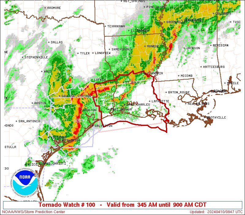
Very likely a did this damage in Slidell. ~50 people were rescued from the Courtney Heights Apts. Thankfully no serious injuries reported. Many had to deal with flash flooding including : 6.24' of rain; 3rd wettest April day.
We're live on The Weather Channel

account_circle
Mike Seidel(@mikeseidel) 's Twitter Profile Photo

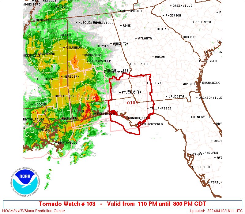
Heavy rain has been the only impact so far in Hattiesburg, MS but a Watch continues until 1 PM CT and the Watch until 7 PM CT. Additional tornado watches parts of LA, AL & the FL Panhandle. Justin Michaels soon from Montgomery.
We're Iive on The Weather Channel

account_circle
NWS Storm Prediction Center(@NWSSPC) 's Twitter Profile Photo

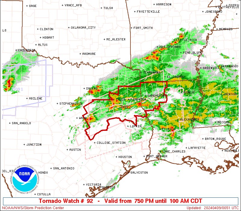
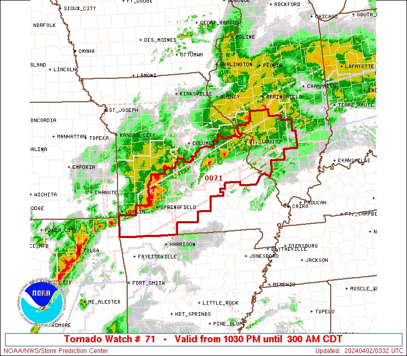
4/9: A Tornado Watch is in effect for parts of east TX and northern LA until 9pm CDT. A few tornadoes (some possibly strong), scattered damaging winds, and large hail are all possible. Have a severe-weather safety plan, and monitor for potential warnings. spc.noaa.gov

4/9: A Tornado Watch is in effect for parts of east TX and northern LA until 9pm CDT. A few tornadoes (some possibly strong), scattered damaging winds, and large hail are all possible. Have a severe-weather safety plan, and monitor for potential warnings. spc.noaa.gov
account_circle
Mike Seidel(@mikeseidel) 's Twitter Profile Photo

Steve Schumacher from The Weather Channel is an incredibly talented Paramotor pilot. He rented a cargo van and drove to Fairfield, IL to capture this breathtaking view of the eclipse... a mile above the ground!

account_circle
Jen Carfagno(@JenCarfagno) 's Twitter Profile Photo

It truly is an experience that is hard to find the words to describe it! The deciding where to travel, analyzing of cloud layers in the forecast… plus all of the emotions of witnessing a !

Thank you to Mike Seidel & Sam Seidel! Mike took the sun pictures!!

account_circle
NWS Weather Prediction Center(@NWSWPC) 's Twitter Profile Photo

[4/7/2024]

Updated Key Messages for tomorrow's total solar eclipse and cloud cover forecast are available. High clouds spanning across parts of the totality path are likely, but may not completely obscure the eclipse. For local forecasts visit weather.gov.

[4/7/2024] Updated Key Messages for tomorrow's total solar eclipse and cloud cover forecast are available. High clouds spanning across parts of the totality path are likely, but may not completely obscure the eclipse. For local forecasts visit weather.gov.
account_circle
Mike Seidel(@mikeseidel) 's Twitter Profile Photo

This April has provided some pretty decent end of the season in the Catskills north of . Hunter Mountain has picked up 13' of snow so far. It's 27° with 24 trails and 4 lifts open.
Grab those runs while you can!

account_circle
Kathryn Prociv(@KathrynProciv) 's Twitter Profile Photo

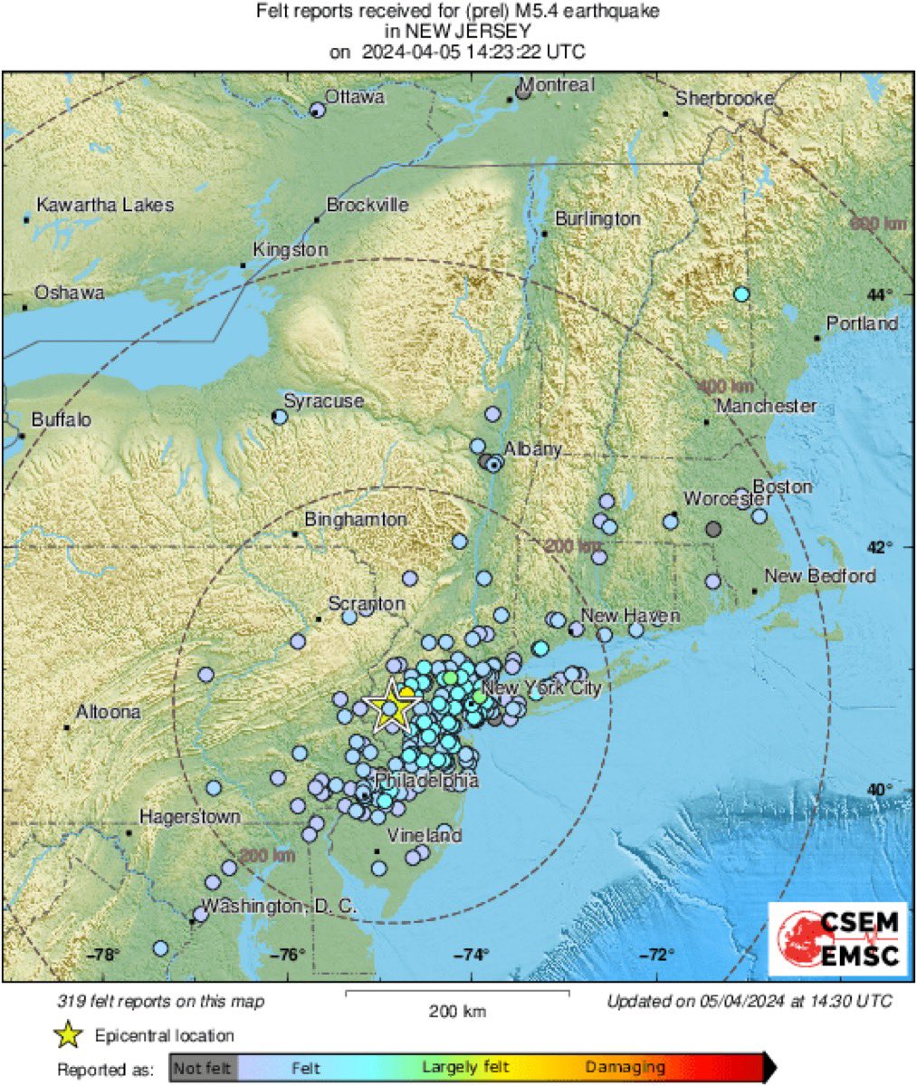
Strongest to strike New Jersey in nearly 250 years, and 3rd strongest on record for the state in 280 years of record-keeping (1737-2017). The only 2 stronger ones: a 5.2 mag in 1737 and 5.3 mag in 1783! Source: nj.gov/njoem/mitigati…

account_circle
New York Metro Weather(@nymetrowx) 's Twitter Profile Photo

NYC, NJ EARTHQUAKE: Preliminary magnitude 4.8 earthquake occurred a short time ago 18 miles north of Plainfield, NJ (magnitude via USGS). This data is unofficial and will be refined as we move forward. No tsunami risk is anticipated.

NYC, NJ EARTHQUAKE: Preliminary magnitude 4.8 earthquake occurred a short time ago 18 miles north of Plainfield, NJ (magnitude via USGS). This data is unofficial and will be refined as we move forward. No tsunami risk is anticipated.
account_circle
Philip Klotzbach(@philklotzbach) 's Twitter Profile Photo

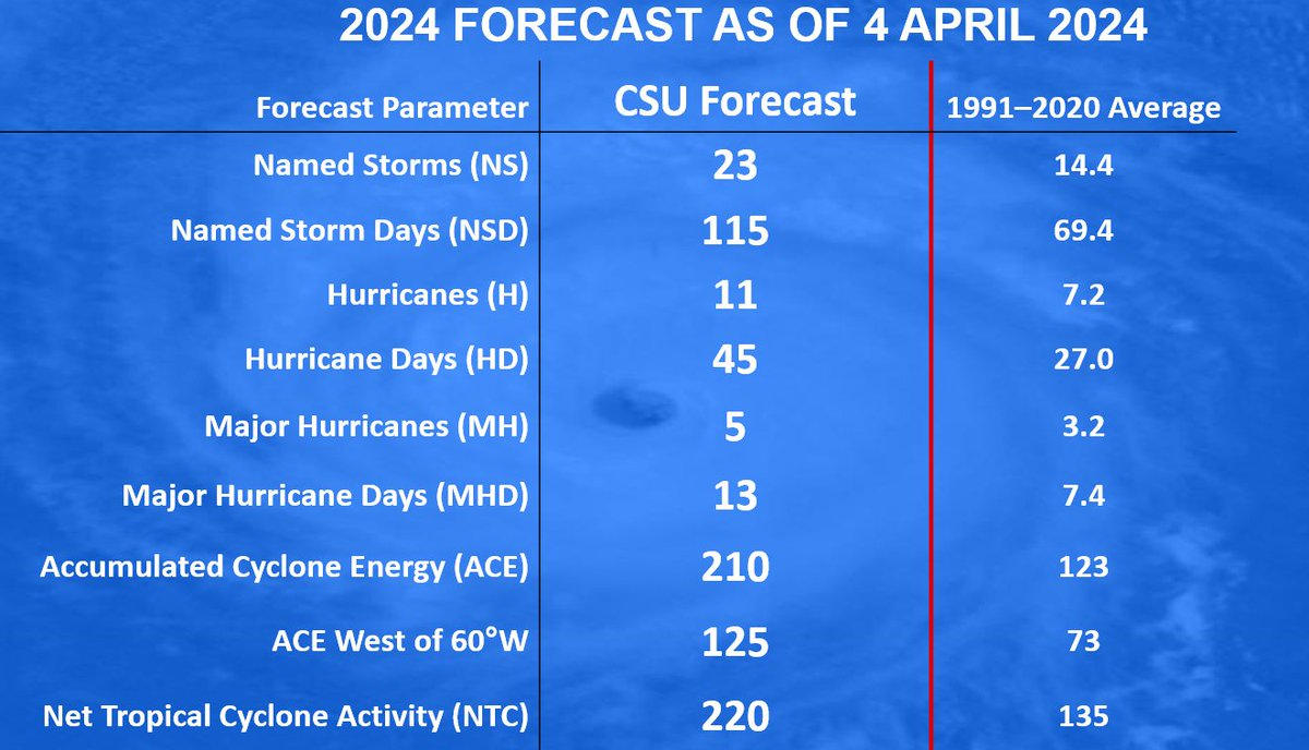
Atlantic seasonal forecast from Colorado State University calls for very active season: 23 named storms, 11 hurricanes & 5 major hurricanes. Extremely warm tropical Atlantic and likely are the primary reasons.

tropical.colostate.edu/Forecast/2024-…

Atlantic seasonal #hurricane forecast from @ColoradoStateU calls for very active season: 23 named storms, 11 hurricanes & 5 major hurricanes. Extremely warm tropical Atlantic and likely #LaNina are the primary reasons. tropical.colostate.edu/Forecast/2024-…
account_circle