Neil Lareau (@nplareau) 's Twitter Profile
Neil Lareau

@nplareau

Prof. of Atmos Sci. @unevadareno. Mountain WX, Wildfire Plumes, Backcountry Skiing, Frontcountry Dadding. Formerly:@SJSUmeteorology @UUtah @Livermore_Lab @MWObs

ID: 95131944

linkhttps://scholar.google.com/citations?user=UGaGnAgAAAAJ&hl=en calendar_today07-12-2009 04:02:56

4,4K Tweet

6,6K Followers

360 Following

Neil Lareau (@nplareau) 's Twitter Profile Photo

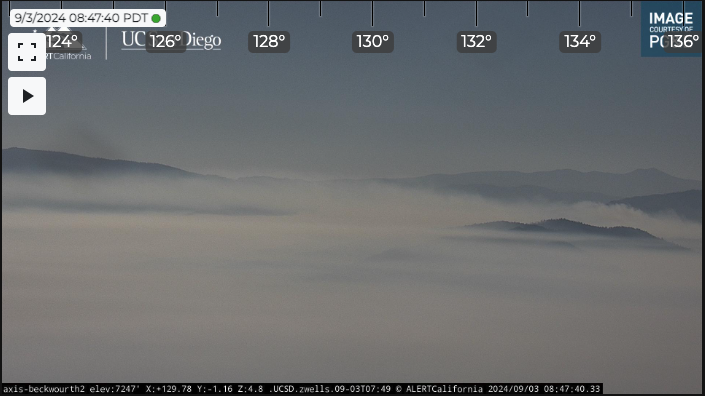
These 2 cams view the same smoke from 180° diff angles. The first shows mostly "dark" smoke, the second "white" smoke. Why? Smoke aerosol (<1 um) cause forward (Mie) scattering of sunlight. Smoke is bright when you're looking towards sun, dark (weak backscatter) when looking away

These 2 cams view the same smoke from 180° diff angles. The first shows mostly "dark" smoke, the second "white" smoke. Why? Smoke aerosol (&lt;1 um) cause forward (Mie) scattering of sunlight. Smoke is bright when you're looking towards sun, dark (weak backscatter) when looking away
Neil Lareau (@nplareau) 's Twitter Profile Photo

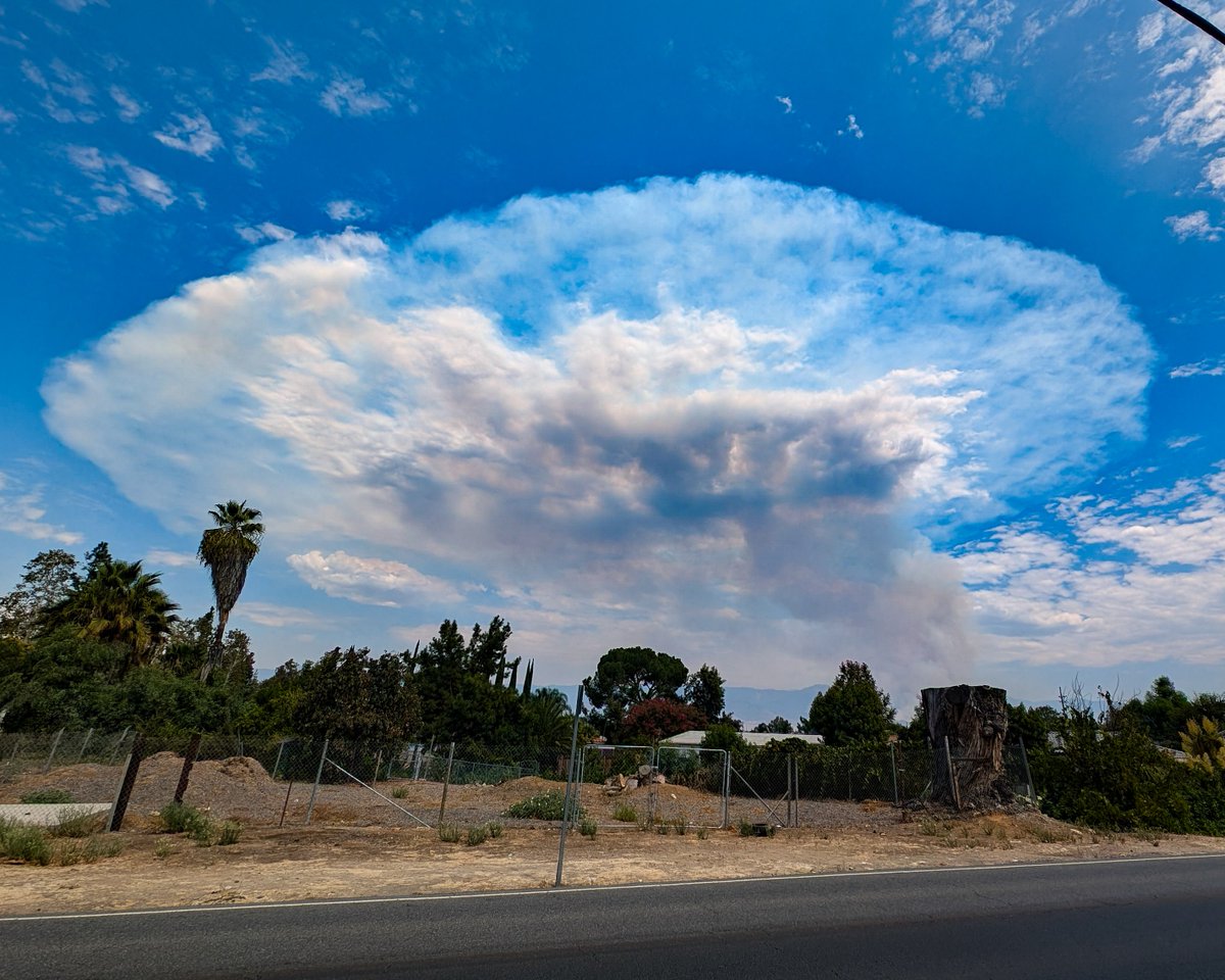
Lots of upper-tropospheric/lower-stratospheric (UTLS) smoke embedded in the upper-level trough's circulation over #OR/#ID following deep #pyroCb in #OR yesterday. Note there are potential secondary pathways (t-storm venting) for some of this smoke to reach the stratosphere today

Neil Lareau (@nplareau) 's Twitter Profile Photo

#BearFire starting to wake up as inversion breaks and winds coupled to the surface. Tough to tell from the cams but most of that burning doesn't look like its at the eastward head of the fire at the moment, so probably internal and on the flanks? Guess we'll see what happens next

ALERTCalifornia (@alertcalifornia) 's Twitter Profile Photo

Thanks to Jonathan O'Brien for sharing this awesome capture of a large dust devil in Bureau of Land Management California's Carrizo Plain National Monument. Look for more on ALERTCalifornia's California Valley 1 camera at: bit.ly/4cT8jWI

The Hotshot Wake Up (@hotshotwake) 's Twitter Profile Photo

The Shoe Fly Fire burning in Wheeler County Oregon has grown to 20,247 acres. #orfire #orwx #wildfire A massive run in just 25 hours. Other fires continue to burn in Oregon including the Wiley Flat Fire which has grown to over 10,000 acres. Very busy couple days in OR. Thanks

Neil Lareau (@nplareau) 's Twitter Profile Photo

Looks like a period of strong winds, intense combustion , and downwash from the plume have yielded some new spots further east (toward Babitt Peak) into the next drainage for the #BearFire... could give new growth potential?

MNStorm (@mn_storm) 's Twitter Profile Photo

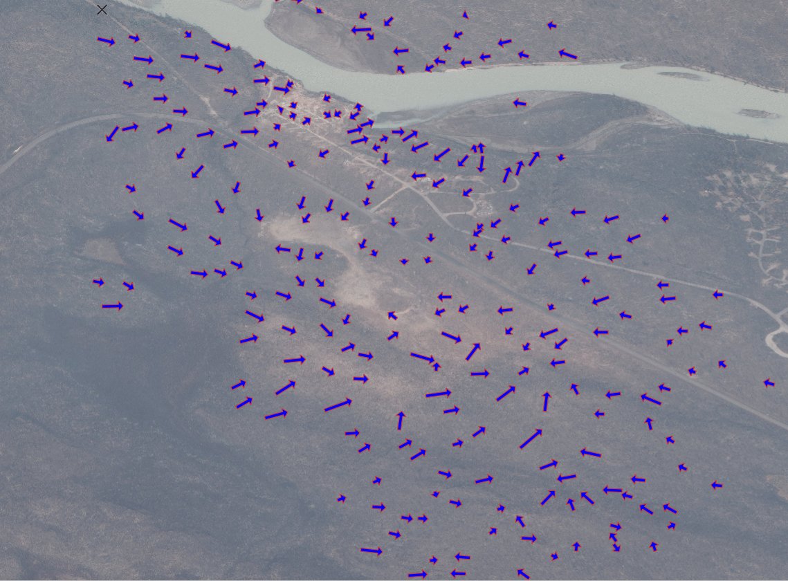
Tree fall analysis of the Wabasso Campground, Jasper NP fire tornado based on Maxar satellite imagery. The tornado reached a maximum width of ~730 meters and had a path length of ~1.57 km. (1/3) #abstorm #abfire

Tree fall analysis of the Wabasso Campground, Jasper NP fire tornado based on Maxar satellite imagery. The tornado reached a maximum width of ~730 meters and had a path length of ~1.57 km. (1/3) #abstorm #abfire
The Hotshot Wake Up (@hotshotwake) 's Twitter Profile Photo

Incredible footage of a fire whirl on the Warner Peak Fire in Oregon, captured by the UAS module working on the fire. #wildfire #orfire #orex The drone’s IR camera captured the event, and you can see the rate of spread increase drastically as the whirl develops. Amazing

Neil Lareau (@nplareau) 's Twitter Profile Photo

Want to learn about the superposition of mechanically and thermally forced flows in mountain ranges and their link to cumulus clouds? Well, probably not, but in case you do you can check out our new paper in #MWR. Open access here: journals.ametsoc.org/view/journals/… AMS Mountain Meteorology Committee

Want to learn about the superposition of mechanically and thermally forced flows in mountain ranges and their link to cumulus clouds? Well, probably not, but in case you do you can check out our new paper in #MWR. Open access here: journals.ametsoc.org/view/journals/… <a href="/AMSMountain/">AMS Mountain Meteorology Committee</a>
The Hotshot Wake Up (@hotshotwake) 's Twitter Profile Photo

Some crazy fire activity on the Bear Fire burning on the Tahoe National Forest in California, near the Nevada border. #cafire #cawx #wildfire #bearfire Shifting winds yesterday caused a massive fire whirl that carried spot fires over line and crews had to bump back after it

Nicole Weisberg (@nweisbergctv) 's Twitter Profile Photo

One of the most extraordinary things I've ever seen. Last week, Parks Canada gave us a tour of #Wabasso Campground and Hwy 93A. The #Jasper fire created a literal storm causing the kind of damage you might see from a tornado. A few photos I snapped.

One of the most extraordinary things I've ever seen. Last week, Parks Canada gave us a tour of #Wabasso Campground and Hwy 93A. The #Jasper fire created a literal storm causing the kind of damage you might see from a tornado. A few photos I snapped.
Neil Lareau (@nplareau) 's Twitter Profile Photo

Go away and never come back MDPI: "To publish the latest research without delay, we ask that reviews are completed within 1 week;"