John Nelson(@John_M_Nelson) 's Twitter Profileg
John Nelson

@John_M_Nelson

Maker of maps. Talker of making of maps. Purveyor of gumption. Mitten State. I make map videos now? https://t.co/lTYF0UBzhp (views mine, etc.)

ID:381150541

linkhttps://linktr.ee/johnnelsonmaps calendar_today27-09-2011 20:43:34

18,5K Tweets

24,0K Followers

97 Following

Staridas Geography(@StaridasGeo) 's Twitter Profile Photo

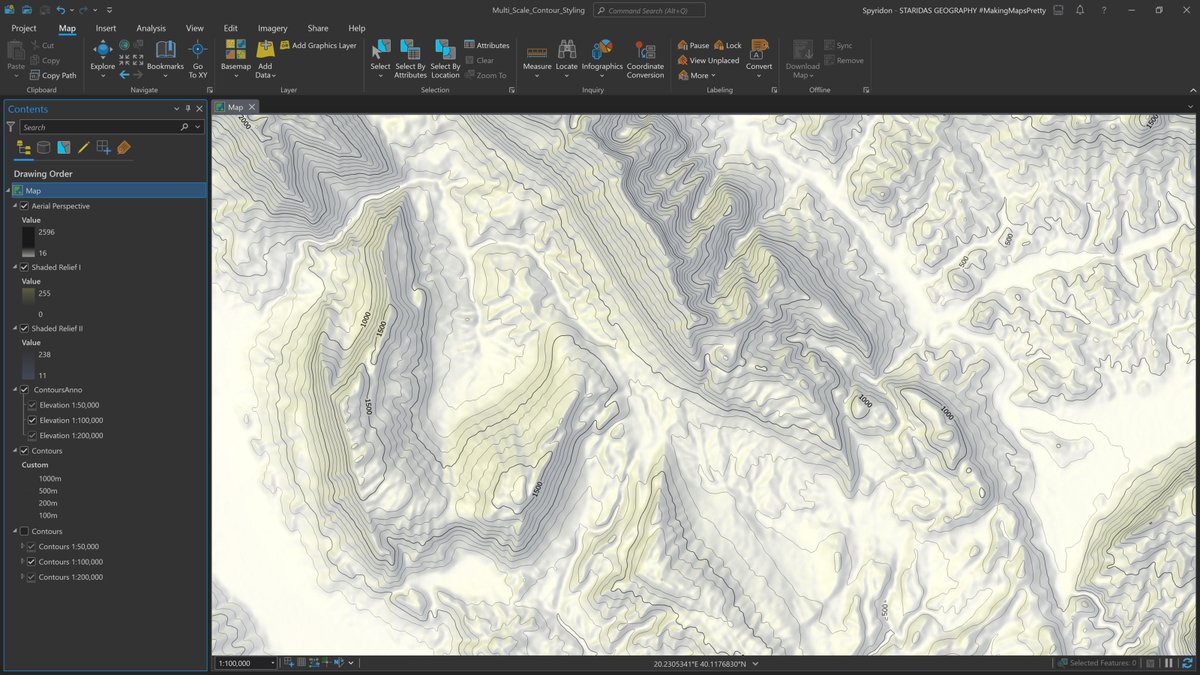
Multi-Scale Contour Styling in is the name of my article John Nelson kindly hosted on his blog! With a little help of and and Pro's symbology capabilities, mastering contours is easy!
Read it here: esri.com/arcgis-blog/pr…

Multi-Scale Contour Styling in #ArcGISPro is the name of my article @John_M_Nelson kindly hosted on his blog! With a little help of #Arcade and #SQL and Pro's symbology capabilities, mastering contours is easy! Read it here: esri.com/arcgis-blog/pr… #cARTography #MakingMapsPretty
account_circle
John Nelson(@John_M_Nelson) 's Twitter Profile Photo

I'll be at Utrecht University April 26 to nerd out on maps. If you are in the area, and are so inclined, register for this free lecture here: geografie.nl/agenda/adventu…

I'll be at Utrecht University April 26 to nerd out on maps. If you are in the area, and are so inclined, register for this free lecture here: geografie.nl/agenda/adventu…
account_circle
John Nelson(@John_M_Nelson) 's Twitter Profile Photo

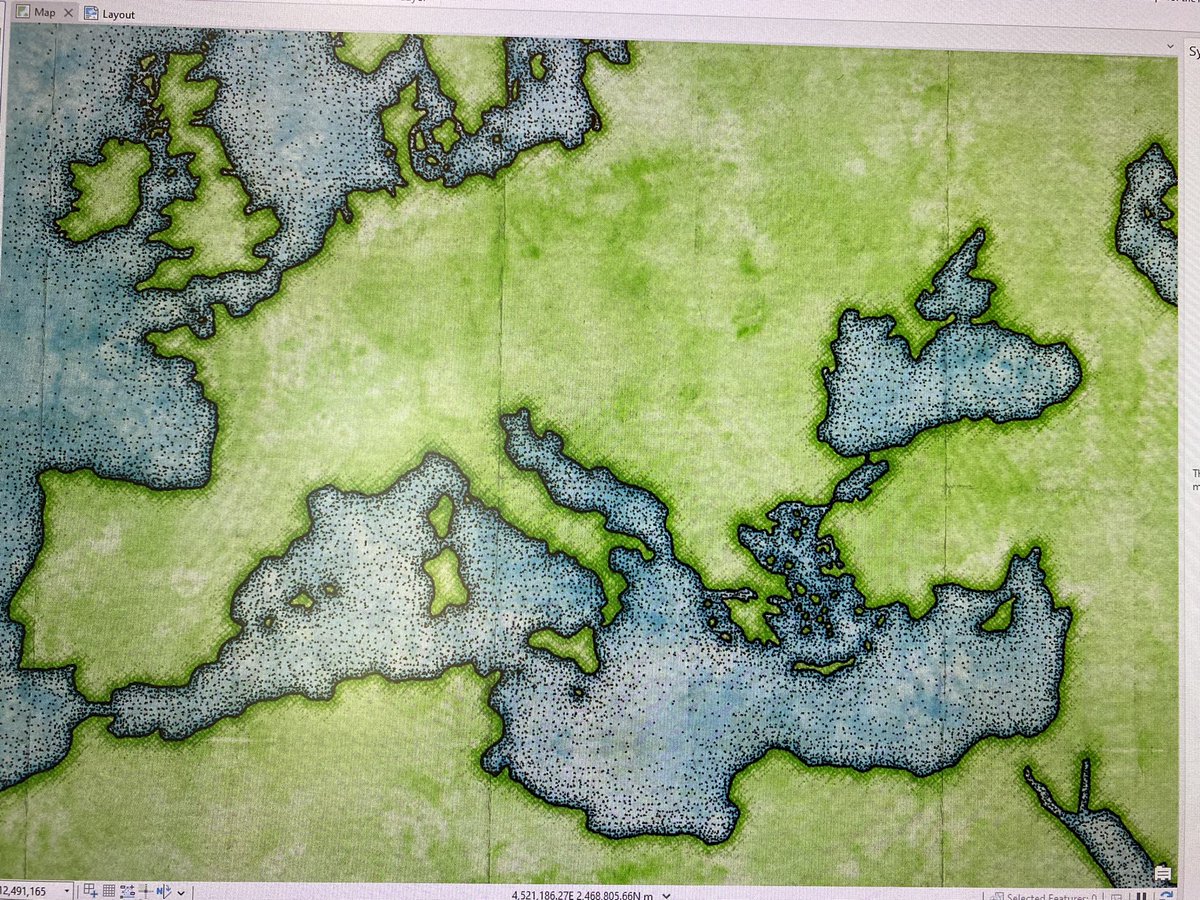
Random screen update. Putting some slides together and made this quick map using the watercolor style and pen & ink style for Pro. esriurl.com/nelsonstyles

Random screen update. Putting some slides together and made this quick map using the watercolor style and pen & ink style for Pro. esriurl.com/nelsonstyles
account_circle
wes jones(@wesleytjones) 's Twitter Profile Photo

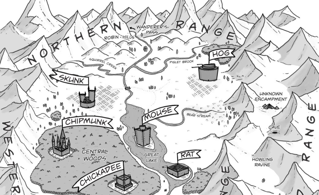
Anyone want a light Friday read? You can check out my webcomic. It even has a nice map at the beginning
skunkandfox.com/post/147984437…

Anyone want a light Friday read? You can check out my webcomic. It even has a nice map at the beginning skunkandfox.com/post/147984437…
account_circle
John Nelson(@John_M_Nelson) 's Twitter Profile Photo

Two thumbs up for this great Bounding Box podcast episode with the two Andys of cartography, Andy Green and Andrew Skinner. Great practical insights and a fun walk through the evolving tech (including the early days of MapQuest). Hosted by Rene Rubalcava. open.spotify.com/episode/3ag8na…

account_circle
Felix Lowe(@saddleblaze) 's Twitter Profile Photo

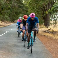
I'm fascinated by this 1948 Tour de France postcard collection which, when laid out, marks the entire route of the race that year. Has anyone seen anything like this before? the Inner Ring David Guénel

I'm fascinated by this 1948 Tour de France postcard collection which, when laid out, marks the entire route of the race that year. Has anyone seen anything like this before? @inrng @davidguenel
account_circle
John Nelson(@John_M_Nelson) 's Twitter Profile Photo

Wow, what a gift! Kenneth Field’s eclipse map in print is a thing to behold. I’m loving the spot gloss and gold foil suns. Thanks Ken!
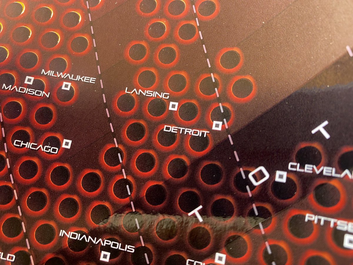
Wow, what a gift! @kennethfield’s eclipse map in print is a thing to behold. I’m loving the spot gloss and gold foil suns. Thanks Ken!
account_circle
Esri Training(@EsriTraining) 's Twitter Profile Photo

It's already week 2 in the cartography MOOC! 😮 Which also means time is running out to register (for free!) ⏳ Jump in and join the fun → esri.social/ngLQ50RbPeQ John Nelson Kenneth Field wes jones

It's already week 2 in the cartography MOOC! 😮 Which also means time is running out to register (for free!) ⏳ Jump in and join the fun → esri.social/ngLQ50RbPeQ @John_M_Nelson @kennethfield @wesleytjones
account_circle
Warren Davison(@WarrenDz) 's Twitter Profile Photo

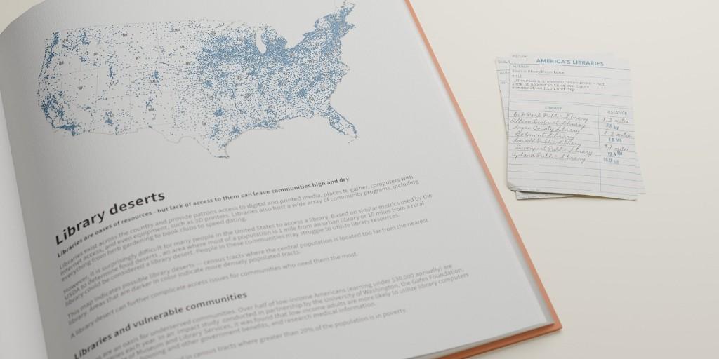
Do you love your local library? 📚 Imagine life without one.

Find out where deserts exist across the US and why that matters for vulnerable communities. ow.ly/nFLP50RbOzf

Do you love your local library? 📚 Imagine life without one. #nationallibraryweek Find out where #library deserts exist across the US and why that matters for vulnerable communities. ow.ly/nFLP50RbOzf
account_circle
Manolito Caldas(@DADDYJOSE) 's Twitter Profile Photo

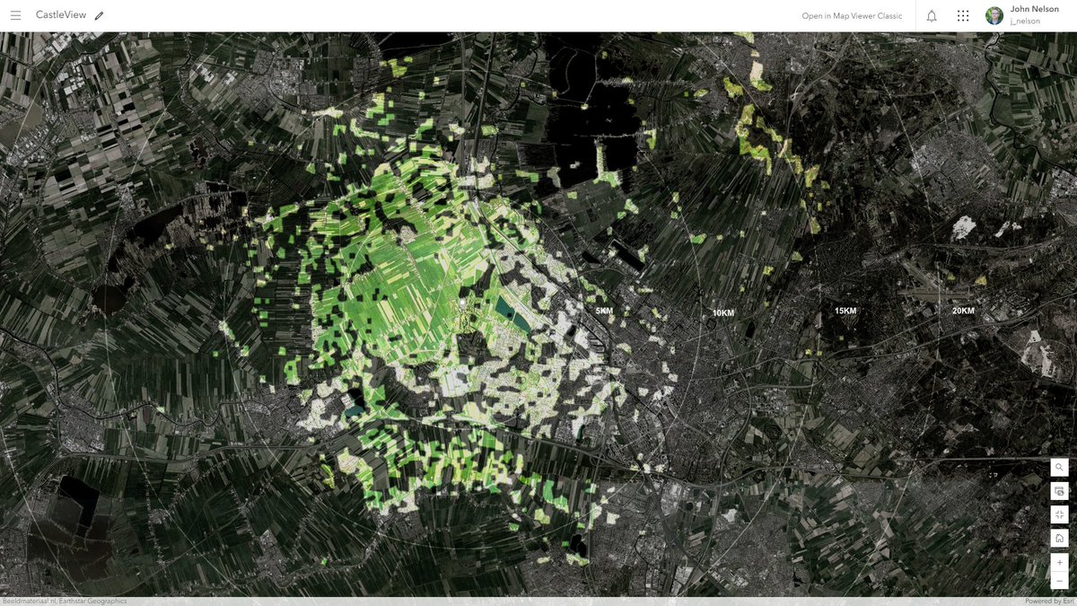
Viewshed from the perspective of El Yunque Tower in the National Rain Forest in Puerto Rico.
josecaldas.maps.arcgis.com/apps/instant/b…

account_circle
Gaetan(@Gaetan_CartoGis) 's Twitter Profile Photo

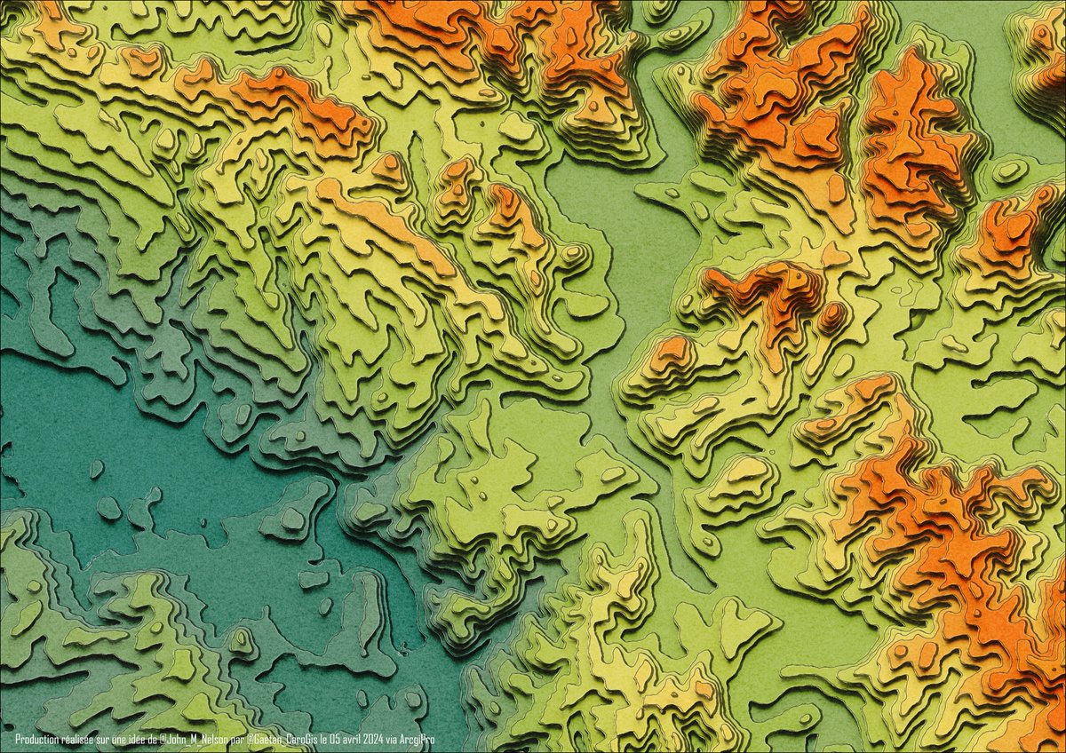
Pas aussi bien fait que John Nelson, mais grâce à sa vidéo youtube.com/watch?v=RTLBgd…, j'ai pu me produire aussi mon fond d'écran perso qui sera aussi sur mon téléphone. Altimétrie BDALTIV2 de l' du département des Ardennes et réalisée via .

Pas aussi bien fait que @John_M_Nelson, mais grâce à sa vidéo youtube.com/watch?v=RTLBgd…, j'ai pu me produire aussi mon fond d'écran perso qui sera aussi sur mon téléphone. Altimétrie BDALTIV2 de l'#IGN du département des Ardennes et réalisée via #ArcGISPRO.
account_circle
John Nelson(@John_M_Nelson) 's Twitter Profile Photo

Map Your View! Create and Style a Viewshed in ArcGIS Online. You know, on second thought, please don't watch this.
youtu.be/oC9HVAzA8Rg

account_circle