Vince Waelti πŸŒͺ(@VinceWaelti) 's Twitter Profileg
Vince Waelti πŸŒͺ

@VinceWaelti

Follow along, live & first hand, on exciting storm chases in high definition, for free. Businesses: Use website to contact. Associate's Degree in forklifting.

ID:1133040126144274432

linkhttp://seethestorm.net calendar_today27-05-2019 15:59:51

10,5K Tweets

48,5K Followers

861 Following

Vince Waelti πŸŒͺ(@VinceWaelti) 's Twitter Profile Photo

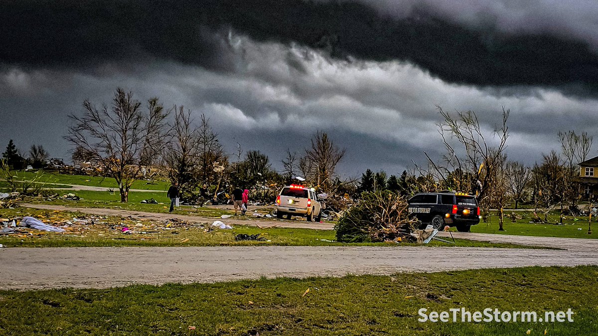
Few quick notes:

I mentioned yesterday to viewers that 'it never happens to you until it happens to you.' Last night, it happened to many 'yous.' Please take time today to plan for severe weather. It never, ever happens until it does.

Also, those chasers who were excited to…

Few quick notes: I mentioned yesterday to viewers that 'it never happens to you until it happens to you.' Last night, it happened to many 'yous.' Please take time today to plan for severe weather. It never, ever happens until it does. Also, those chasers who were excited to…
account_circle
Andrew Brady(@Brady_Wx) 's Twitter Profile Photo

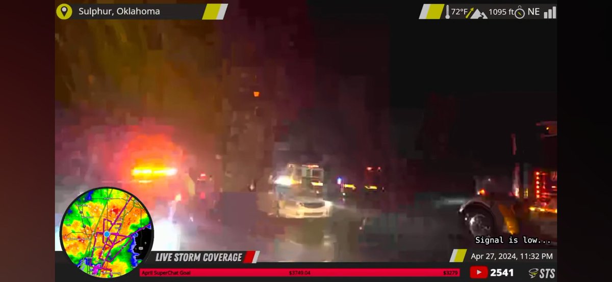
CC overlayed with STORM-Net tornado probabilities last night, centered on Sulphur, OK.

Prayers to those affected that lost family members or property last night. Goes to show how quickly things can ramp up with such a robust parameter-space in place.

account_circle
Vince Waelti πŸŒͺ(@VinceWaelti) 's Twitter Profile Photo

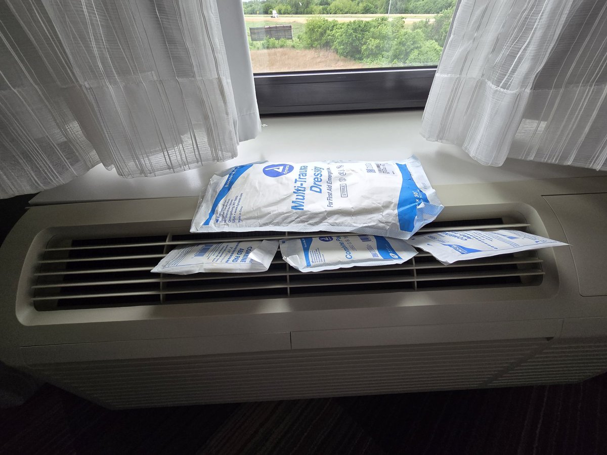
Folks, I have to reassemble my truck and audit damaged and missing equipment so am not chasing. Need to be ready for the next one, whether it's tomorrow or next year, then see if our new friends last night need any help:

SPC says- Clusters of severe storms are possible through…

Folks, I have to reassemble my truck and audit damaged and missing equipment so am not chasing. Need to be ready for the next one, whether it's tomorrow or next year, then see if our new friends last night need any help: SPC says- Clusters of severe storms are possible through…
account_circle
NWS Storm Prediction Center(@NWSSPC) 's Twitter Profile Photo

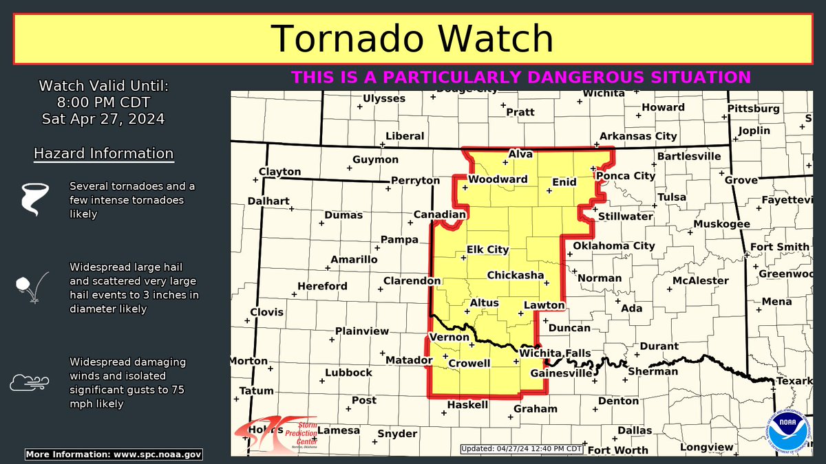
A Tornado Watch is in effect for parts of western Oklahoma and western North Texas until 8 PM CDT. This is a particularly dangerous situation. Several tornadoes (a few intense), very large hail (2-3 in.), and wind gusts up to 75 mph are the expected hazards. Stay weather aware.

A Tornado Watch is in effect for parts of western Oklahoma and western North Texas until 8 PM CDT. This is a particularly dangerous situation. Several tornadoes (a few intense), very large hail (2-3 in.), and wind gusts up to 75 mph are the expected hazards. Stay weather aware.
account_circle
Vince Waelti πŸŒͺ(@VinceWaelti) 's Twitter Profile Photo

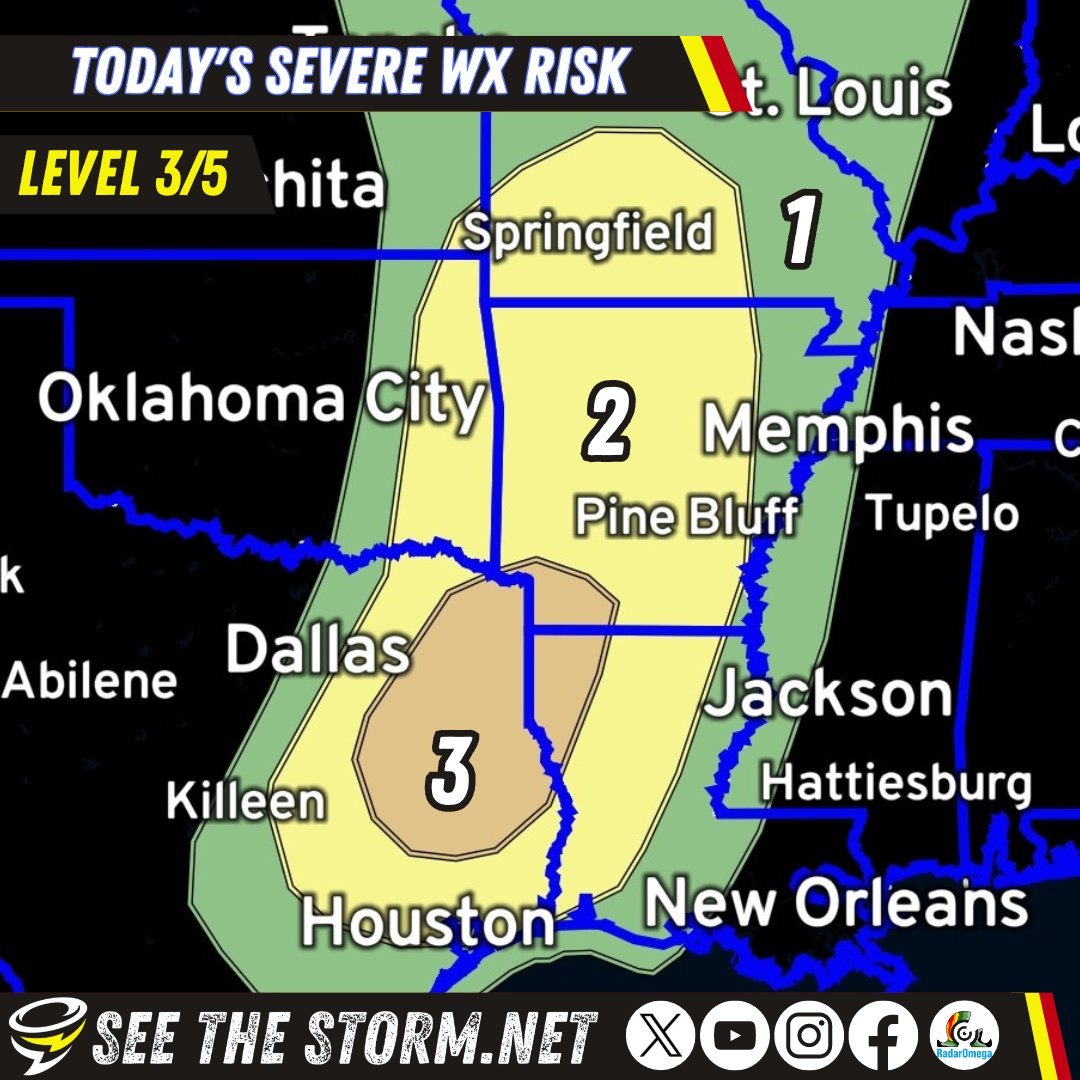
LEVEL 4 of 5 TORNADO RISK in red. A tornado outbreak does, frankly, seem like a serious possibility today. You don't hear me say that often. Let's plan for the worst and hope for the best: Weather radios, app like RadarOmega, charged phones, and a plan for shelter. As we…
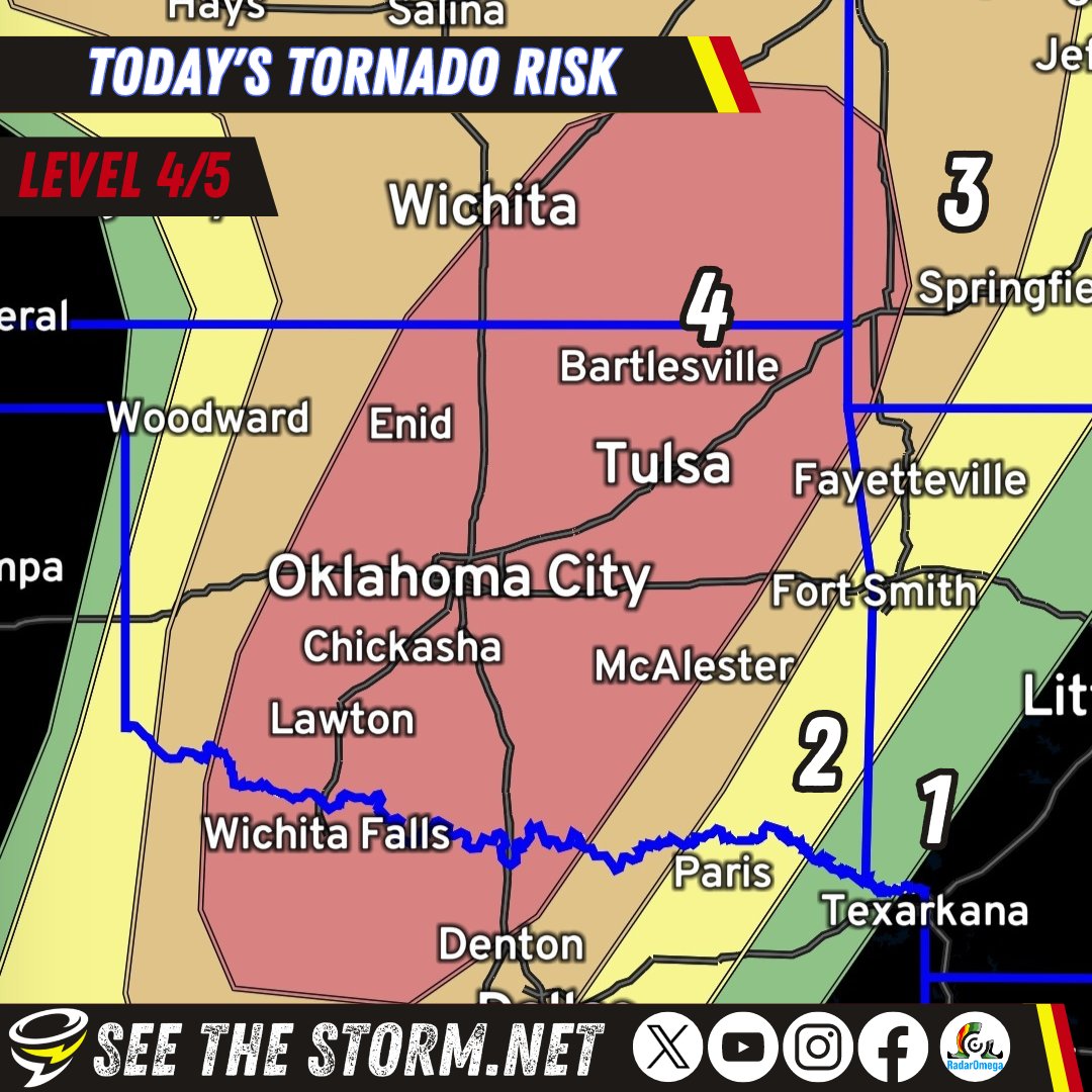
LEVEL 4 of 5 TORNADO RISK in red. A tornado outbreak does, frankly, seem like a serious possibility today. You don't hear me say that often. Let's plan for the worst and hope for the best: Weather radios, app like @RadarOmega, charged phones, and a plan for shelter. As we…
account_circle
Daniel Shaw(@DanielShawAU) 's Twitter Profile Photo

This was the moment a tornado touched down in Fredonia Kansas, USA this afternoon. The full gallery can be found on
flickr.com/photos/daniels…

Follow our live storm chasing via severestorms.com.au

This was the moment a tornado touched down in Fredonia Kansas, USA this afternoon. The full gallery can be found on flickr.com/photos/daniels… Follow our live storm chasing via severestorms.com.au
account_circle
Corey Gerken(@CoreyGerkenWX) 's Twitter Profile Photo

More shots of the tornado near Lincoln, Nebraska, yesterday! Headed to Oklahoma for another round of significant severe weather later today. RadarOmega FOX Weather

account_circle
Vince Waelti πŸŒͺ(@VinceWaelti) 's Twitter Profile Photo

This was sent by a resident and frankly means a lot. The individual described chasers stopping to help as a 'beacon of hope.' Whether or not that phrase came to my mind is moot- I just think it's great to see people helping others.

This was sent by a resident and frankly means a lot. The individual described chasers stopping to help as a 'beacon of hope.' Whether or not that phrase came to my mind is moot- I just think it's great to see people helping others.
account_circle
RadarOmega(@RadarOmega) 's Twitter Profile Photo

At 4:05pm CDT, storm chaser Vince Waelti πŸŒͺ captured this view of a large, destructive tornado crossing the road in front of him a few miles south of Blair, Nebraska on his cyclonePORT stream.

account_circle
Vince Waelti πŸŒͺ(@VinceWaelti) 's Twitter Profile Photo

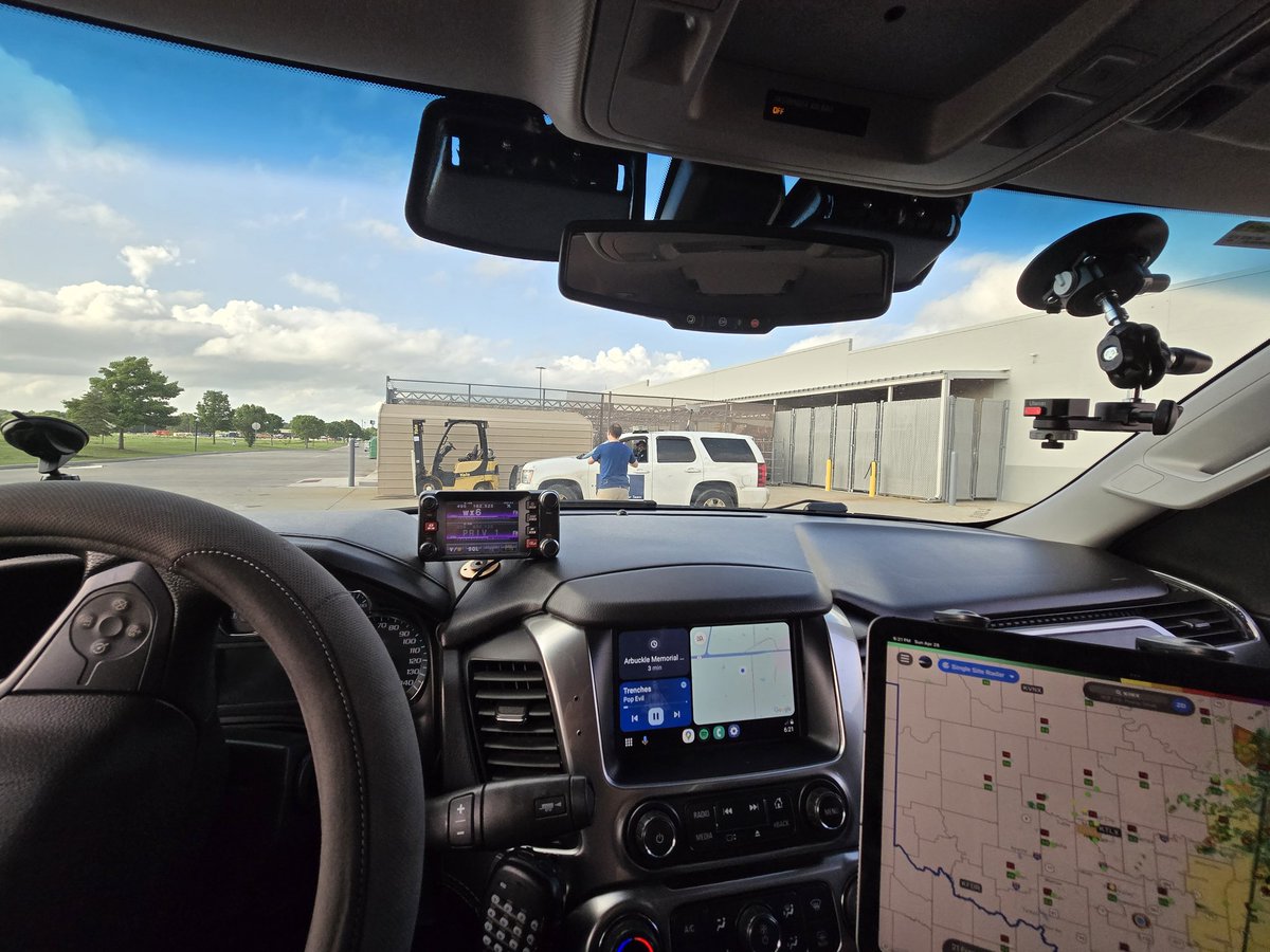
Today looks like another likely severe weather event. Current forecast indicates the greatest risk for tornadoes will be in SW Iowa, SE Nebraska, NW Missouri and NE Kansas.

RadarOmega SPC graphics show the 10% risk for strong tornadoes (within 25 miles of any given point) is…

Today looks like another likely severe weather event. Current forecast indicates the greatest risk for tornadoes will be in SW Iowa, SE Nebraska, NW Missouri and NE Kansas. @RadarOmega SPC graphics show the 10% risk for strong tornadoes (within 25 miles of any given point) is…
account_circle