Isavia(@isavia) 's Twitter Profileg
Isavia

@isavia

Isavia operates all airports in Iceland and one of the largest air traffic control areas in the world, connecting three continents: Europe, Asia and N-America.

ID:2827389017

linkhttp://www.isavia.is calendar_today13-10-2014 13:01:36

159 Tweets

533 Followers

142 Following

Isavia(@isavia) 's Twitter Profile Photo

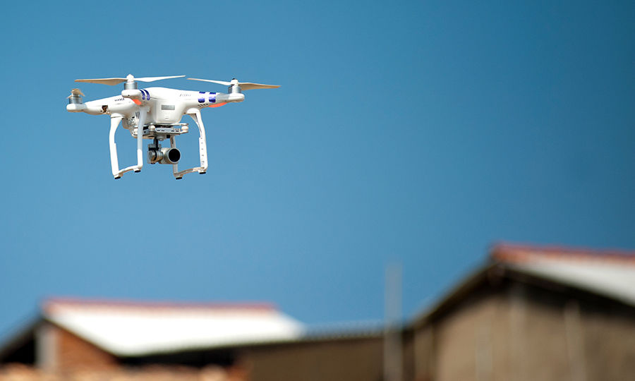
Ban on drone flights at Reykjanes eruption today 13.30-14.30 because of scientific flights. The area is: 634954N 0221017W Húshólmur 635212N 0222531W Hagafell 635631N 0222512W East of Seltjörn 635629N 0221018W Keilir 635414N 0215931W South end of Kleifarvatn to point of origin.

Ban on drone flights at Reykjanes eruption today 13.30-14.30 because of scientific flights. The area is: 634954N 0221017W Húshólmur 635212N 0222531W Hagafell 635631N 0222512W East of Seltjörn 635629N 0221018W Keilir 635414N 0215931W South end of Kleifarvatn to point of origin.
account_circle
Isavia(@isavia) 's Twitter Profile Photo

SGS hefur bannað drónaflugi yfir eldgosi á Reykjanesi 19/7 13.30-14.30vegna vísindaflugs. Bannið nær yfir 634954N 0221017W Húshólmi 635212N 0222531W Hagafell 635631N 0222512W Austan við Seltjörn 635629N 0221018W Keilir 635414N 0215931W Suðurendi Kleifarvatns að upphafsstað.

SGS hefur bannað drónaflugi yfir eldgosi á Reykjanesi 19/7 13.30-14.30vegna vísindaflugs. Bannið nær yfir 634954N 0221017W Húshólmi 635212N 0222531W Hagafell 635631N 0222512W Austan við Seltjörn 635629N 0221018W Keilir 635414N 0215931W Suðurendi Kleifarvatns að upphafsstað.
account_circle
Isavia(@isavia) 's Twitter Profile Photo

Amended government rules at Icelandic borders on testing and quarantine take effect on April 1st. Passengers from certain defined risk zones shall quarantine or isolate in quarantine facility between first and second Covid-19 test. More on new rules here bit.ly/3rDObQX

account_circle
Isavia(@isavia) 's Twitter Profile Photo

Frá 1. apríl gilda breyttar aðgerðir yfirvalda á landamærum vegna heimsfaraldurs. Fólk sem kemur frá skilgreindum áhættusvæðum og er ekki bólusett eða búið að fá Covid-19 fer í sóttkví eða einangrun í sóttvarnarhúsi fram yfir síðari sýnatöku. Nánar hér bit.ly/3cDtb8P

account_circle
Isavia(@isavia) 's Twitter Profile Photo

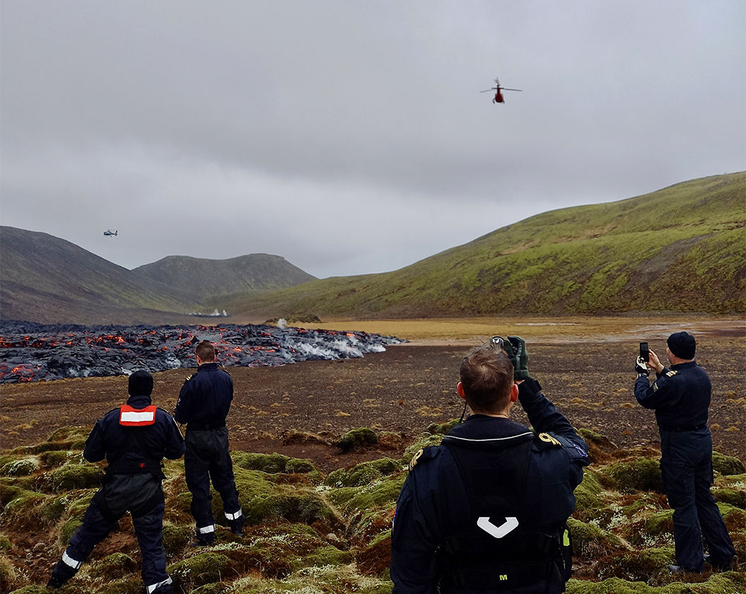
There is a high demand for viewing the eruption at Reykjanes from the air. For safety reasons a maximum number of aircraft has temporarily been defined for the area. The maximum at any one time is 8 aircraft based on the best VFR conditions. More here bit.ly/39hwrVh

There is a high demand for viewing the eruption at Reykjanes from the air. For safety reasons a maximum number of aircraft has temporarily been defined for the area. The maximum at any one time is 8 aircraft based on the best VFR conditions. More here bit.ly/39hwrVh
account_circle
Isavia(@isavia) 's Twitter Profile Photo

Mikil ásókn er í að skoða eldgosið á Reykjanes úr lofti. Í öryggisskyni hefur tímabundið verið sett hámark á fjölda loftfara sem er hverju sinni innan svæðis. Hámarkið miðast við bestu sjónflugsskilyrði og er 8 loftför. Nána um för loftfara á gossvæðið hér bit.ly/2NXkz3h

account_circle
Isavia(@isavia) 's Twitter Profile Photo

The Icelandic Transport Authority stresses the importance of pilots showing extra care when flying around the volcanic eruption in the Reykjanes peninsula. The minimum height for VFR flights in rural areas is 500 feet. bit.ly/3fajxfu

account_circle
Isavia(@isavia) 's Twitter Profile Photo

Samgöngustofa ítrekar mikilvægi þess að stjórnendur loftfara sýni aðgát í kringum gosið á Reykjanesi. Minnt er á lágmarkshæð flugvéla og þyrlna í sjónflugi, sem er 500 fet yfir jörðu í dreifbýli. bit.ly/3fdvMI2

account_circle
Isavia(@isavia) 's Twitter Profile Photo

Drone prohibited area due to seismic activity. Due to research flights by the Department of Civil Protection and Emergency Management, all drone operations are prohibited within a 5km radius around co-ordinates 63,53N 022,16W, from 9am to 10am 23rd March 2021. ICETRA.

Drone prohibited area due to seismic activity. Due to research flights by the Department of Civil Protection and Emergency Management, all drone operations are prohibited within a 5km radius around co-ordinates 63,53N 022,16W, from 9am to 10am 23rd March 2021. ICETRA.
account_circle
Isavia(@isavia) 's Twitter Profile Photo

Að beiðni Almannavarna hefur Samgöngustofa gefið út bann við drónaflugi umhverfis eldstöðina við Fagradalsfjall þriðjudaginn 23. mars 2021 frá kl. 9-10. Bannið er vegna rannsóknaflugs á vegum almannavarna. Drónaflug er bannað í 5km radíus umhverfis hnit 63,53N 022,16W.

Að beiðni Almannavarna hefur Samgöngustofa gefið út bann við drónaflugi umhverfis eldstöðina við Fagradalsfjall þriðjudaginn 23. mars 2021 frá kl. 9-10. Bannið er vegna rannsóknaflugs á vegum almannavarna. Drónaflug er bannað í 5km radíus umhverfis hnit 63,53N 022,16W.
account_circle
Isavia(@isavia) 's Twitter Profile Photo

ICETRA draws attention to rules on drones, including not flying a drone higher than 120m above the ground. A violation that could endanger safety might necessitate a drone ban near the volcanic eruption at Fagradalsfjall. More on that on ICETRA website bit.ly/2QkxnRT

ICETRA draws attention to rules on drones, including not flying a drone higher than 120m above the ground. A violation that could endanger safety might necessitate a drone ban near the volcanic eruption at Fagradalsfjall. More on that on ICETRA website bit.ly/2QkxnRT
account_circle
Isavia(@isavia) 's Twitter Profile Photo

Samgöngustofa vill árétta reglur um drónaflug. Meðal annars er bannað að fljúga hærra en 120m yfir jörðu. Verði vart við brot sem geta stefnt öryggi í hættu gæti þurft að banna drónaflugi við eldstöðina við Fagradalsfjall. Nánar á vef Samgöngustofu bit.ly/3r8Nyyq

account_circle
Isavia(@isavia) 's Twitter Profile Photo

Verklag er í gildi vegna flugs yfir eldgosinu við Fagradalsfjall til að tryggja öryggi á svæðinu fyrir alla og þannig að hægt sé að sinna nauðsynlegu vísinda- og rannsóknarflugi með skömmum fyrirvara. Nánar um málið hér bit.ly/2P94jwb

Verklag er í gildi vegna flugs yfir eldgosinu við Fagradalsfjall til að tryggja öryggi á svæðinu fyrir alla og þannig að hægt sé að sinna nauðsynlegu vísinda- og rannsóknarflugi með skömmum fyrirvara. Nánar um málið hér bit.ly/2P94jwb
account_circle
Isavia(@isavia) 's Twitter Profile Photo

Protocol is now in place for flights around and over the volcanic eruption near Fagradalsfjall in Iceland. This is for safety and to protect short notice scientific flights over the area. For more information AIC A002/2021 eaip.isavia.is/28-Jan-2021-A/

account_circle
Isavia(@isavia) 's Twitter Profile Photo

The Iceland Met Office has lowered the aviation color code for flight over the eruption near Fagradalsfjall to orange. This means that a volcanic eruption is underway with no or minor ash emission. Flights have been on schedule since the eruption began. bit.ly/3s6wj2e

The Iceland Met Office has lowered the aviation color code for flight over the eruption near Fagradalsfjall to orange. This means that a volcanic eruption is underway with no or minor ash emission. Flights have been on schedule since the eruption began. bit.ly/3s6wj2e
account_circle
Isavia(@isavia) 's Twitter Profile Photo

Litakóðinn fyrir flug yfir eldstöðina nærri Fagradalsfjalli hefur verið lækkaður niður í appelsínugulan. Það þýðir að eldgos er í gangi, þó með lítilli eða engri öskuframleiðslu. Flug hefur verið samkvæmt áætlun síðan gosið hófst. bit.ly/3s6wj2e

Litakóðinn fyrir flug yfir eldstöðina nærri Fagradalsfjalli hefur verið lækkaður niður í appelsínugulan. Það þýðir að eldgos er í gangi, þó með lítilli eða engri öskuframleiðslu. Flug hefur verið samkvæmt áætlun síðan gosið hófst. bit.ly/3s6wj2e
account_circle
Isavia(@isavia) 's Twitter Profile Photo

Information on the eruption at Fagradalsfjall Mountain and flights can be found here bit.ly/3vC21GC

account_circle
Isavia(@isavia) 's Twitter Profile Photo

Upplýsingar um eldgosið Fagradalsfjalli og möguleg áhrif á flug má nálgast hér bit.ly/30Xcf6f

account_circle